Monte Tamaro – Chestnuts trail
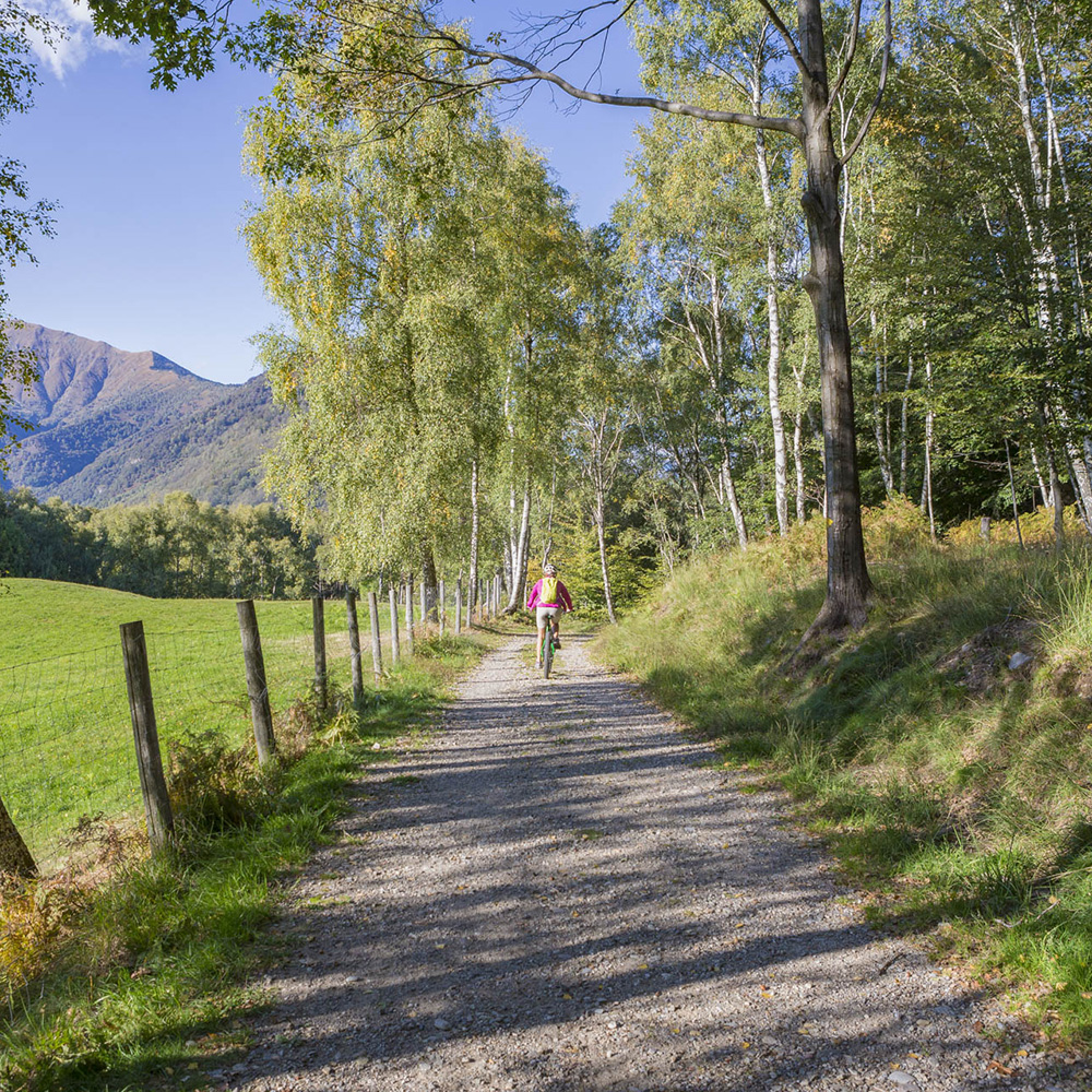
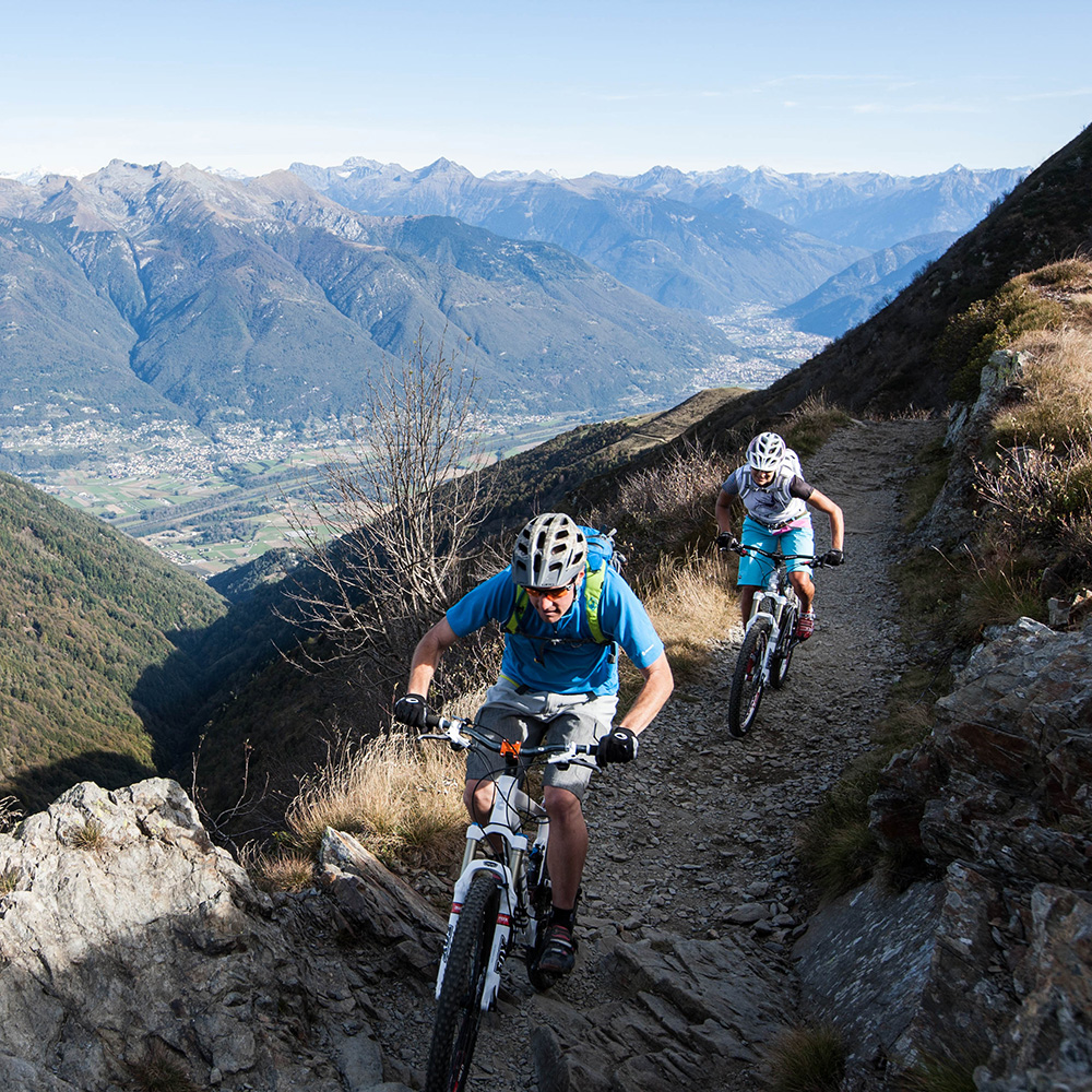
The Monte Tamaro – Chestnuts Trail is an unforgettable circular route through sweeping chestnut forests and breathtaking views.
Monte Tamaro – Chestnuts trail
This itinerary of just over 63 km features a mix of dirt roads, exciting single trails, and paved sections. Starting from Alpe Foppa, you pass by Capanna Tamaro before descending into the Malcantone region through Alpe di Torricella, Arosio, and Breno. The ride continues in the enchanting nature around the Maglio area, before reaching the lakeshore at Magliaso and Agno, to finally gently climb back up from Taverne to the Valley station in Rivera.
Main stops: Alpe Foppa (mountain station of the cable car) – Capanna Tamaro – Bassa d’ Indemini – Alpe Canigiolo – La Bassa – Alpe di Torricella – Arosio – Breno – Cademario – Magliaso – Agno – Taverne – Rivera (valley station of the cable car)
Itinerary details
| Length: |
63,1 km |
| Ground: | 30.8 km dirt road / 12.6 km single trail / 19.7 km asphalt road |
| Total climb / descent |
1 599 m / 2 652 m |
| Time required: |
7 h 20 min |
| Technique: | Medium |
|
Fitness: |
Difficult |
Watch the map on Switzerland Mobility
Charging station (free) for E-bikes and a small service station for all mountain bikes at Alpe Foppa. A second service station is located at the bottom station of the cableway in Rivera.


MONTE TAMARO SA
Via Campagnole 6
CH-6802 Rivera
Be the first to know!
Subscribe to our newsletter and stay up to date with our events and special offers.